
Name of the project : Cartographic representations adapted to the operational uses of seismic crisis management
Type of project : Internships
Summary:
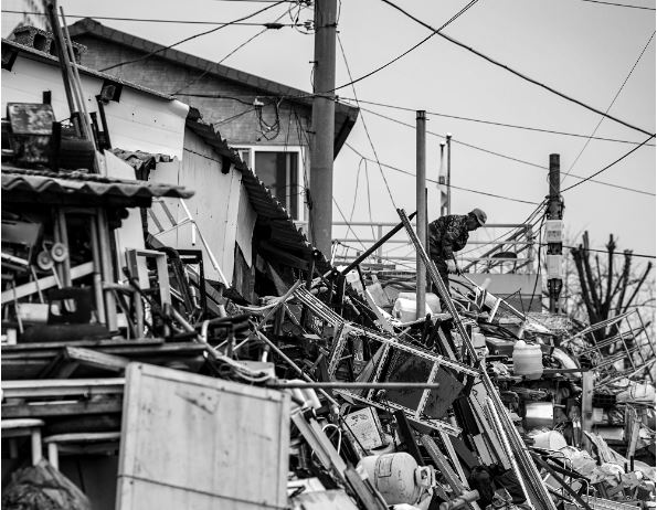
In France, seismic activity causes damage to individuals and property over large areas, leading to widespread crises that require rapid and large-scale safety responses. Providing an overview of the deteriorated situation in order to take action that meets immediate needs while ensuring these choices target a gradual return to normalcy is therefore critical. As such, obtaining reliable information regarding the scope of the crisis as quickly as possible – versus close estimates that require further and often lengthy synthesis of feedback from the field – is a necessity. In view of this, the BRGM is developing “rapid response” solutions for quick estimation of losses. These tools aim to support the relevant information authorities so as to enable them to anticipate the scale of the earthquake and its probable consequences.
Cartographic restitution is therefore a highly sensitive issue, insofar as the results of the loss estimates are evolving (as time passes and new observations become available, updates to the model may confirm or invalidate previous estimates), multi-scale (depending on the user’s mission -COGIC, defense zone, prefecture or SDIS- the results can be analyzed from the overall scale of the event to that of the neighborhood), and uncertain.
The internship therefore consists of 1) proposing interactive modes of cartographic representation based on the principle of multi-scale aggregation, notably drawing on representations by groups of points of interest popularized by Google while aiming for a less invasive representation in terms of spatial influence, and 2) testing them with users. Beyond the question of multi-scale representation, the intern will help design cartographic representations adapted to the operational uses of seismic crisis management. These semiological choices will be made in collaboration with Jean-François Girres, researcher in geography at the University of Montpellier 3 and specialist in crisis mapping.
Practically speaking, the representation of two types of loss indicators will be considered within the framework of the internship:
- that of time differentials (i.e. between successive versions of the model) relating to the assessment of direct damage to buildings (and associated bodily damage expressed in types of victims), and
- that of functional losses on roads (expressed in terms of drivability).
These mapping proposals will be made in close collaboration with operational crisis management staff (especially via the BRGM’s “SEISaid-Antilles” user committee), who will be present at the start of the internship to clearly define needs, and throughout in order to evaluate the proposals. We will aim to evaluate the proposals through a controlled test with users if the internship’s timeframe allows for it.
Partner : Jean-François Girres (GRED, Université de Montpellier 3)
Name of supervisor(s) : Samuel Auclair (BRGM) ; Guillaume Touya (LaSTIG, IGN)
Name of student(s): Thileli HADJEB (Université de Caen Normandie)
Start and end of the project : 5 April 2021 - 29 August 2021
Duration : 5 months